Cartagen
Jeffrey Warren
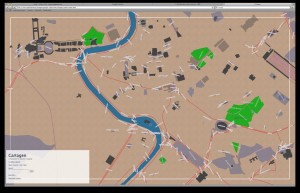
Cartagen is a set of tools for mapping, enabling users to view and configure live streams of geographic data in a dynamic, personally relevant way. Today’s mapping software is largely based on static data sets, and neither incorporates the time dimension in its display nor provides for real-time data streams. Cartagen helps users to analyze and view collected and shared geographic and temporal data from multiple sources. While we live in an environment of real-time and temporally situated information, the mapping tools we have are not adequate for viewing, composing, or using this data. Cartagen uses vector-based, context-sensitive drawing methods to describe data, not merely in terms of lines and polygons, but also with adaptive use of color, movement, and projection. Applications include mapping real-time air pollution, citizen reporting, and disaster response.