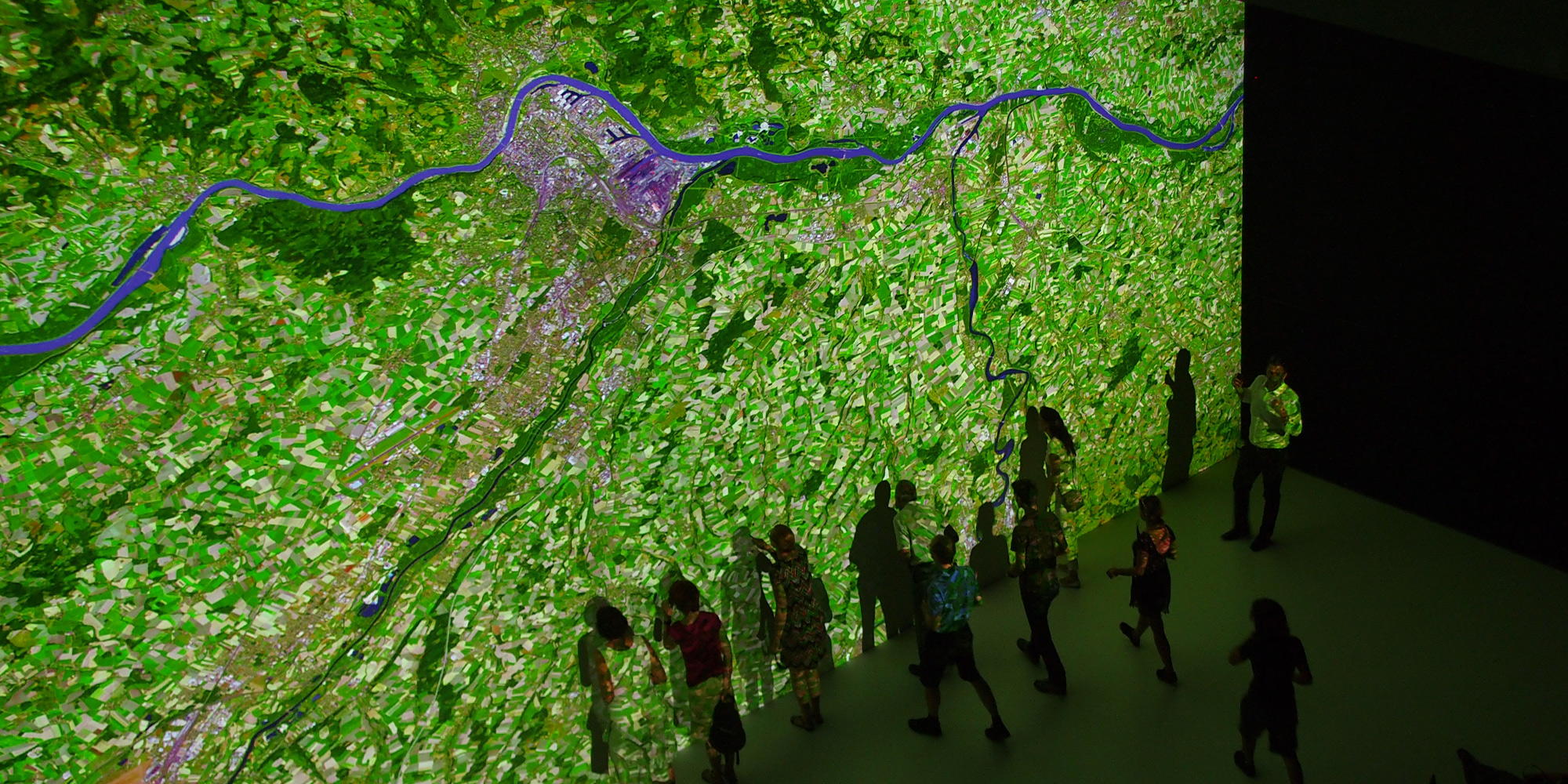
In Deep Space 8K, we show you a high-resolution collage of almost 50 satellite images in various colour spectra of the entire course of the Danube from its source to its estuary. Data from ESA’s Copernicus program was used, which is available to all interested parties free of charge.
Specifically, data from the two Sentinel-2 satellites are used, which record in 13 different channels, only three of which are visible to the human eye. Today, as it has done in the past, the cultural region of the Danube is home to a wide variety of peoples, and this “colourfulness” is also to be represented by the colourfulness of the collage of pictures.
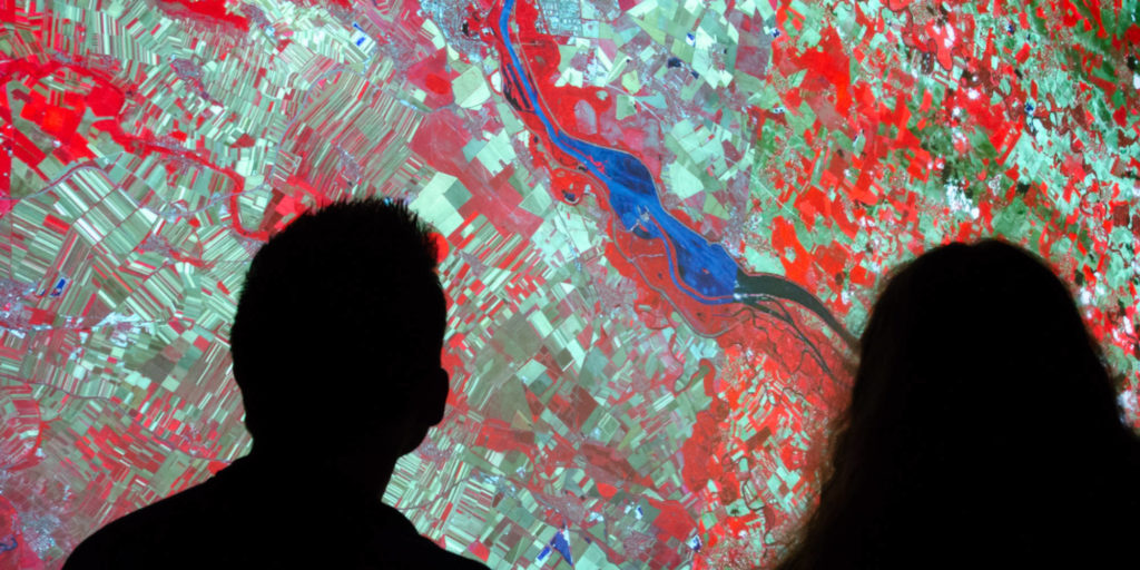
Originally, the selection of channels is intended to help scientists interpret the data – in this case, however, we focus on stories that can be read from the geography of the Danube region. For example, the history of the world’s largest inland island, the so-called Danube seepage, or the curiosity why you can row nine kilometres at Straubing in Bavaria when you have actually only covered one kilometre.