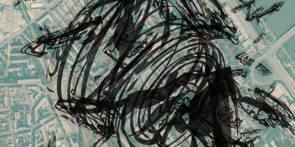
The series Form/Code/Maps: Air Corridors“ consists of twenty 81×107 cm lenticular images allowing to experience areas such as landscapes, forms, space, atmosphere all in computer generated 3D images.
Arial plans of cities provide a real frame for orientation from which floating, fluctuating shapes emerge. These creations are based on virtual wireframe models which serve as containers and projection surfaces for graphical trails, drawings and textures.
Redefining emptiness
Floating artifacts, remnants of code dissolve the established views computer users have on city plans. Concentrating on the space above the plans removes the original function of them for your orientation. In previously empty areas of land, structures and interferences appear before your eyes, which help redefine what is meant by ‘City’.

